
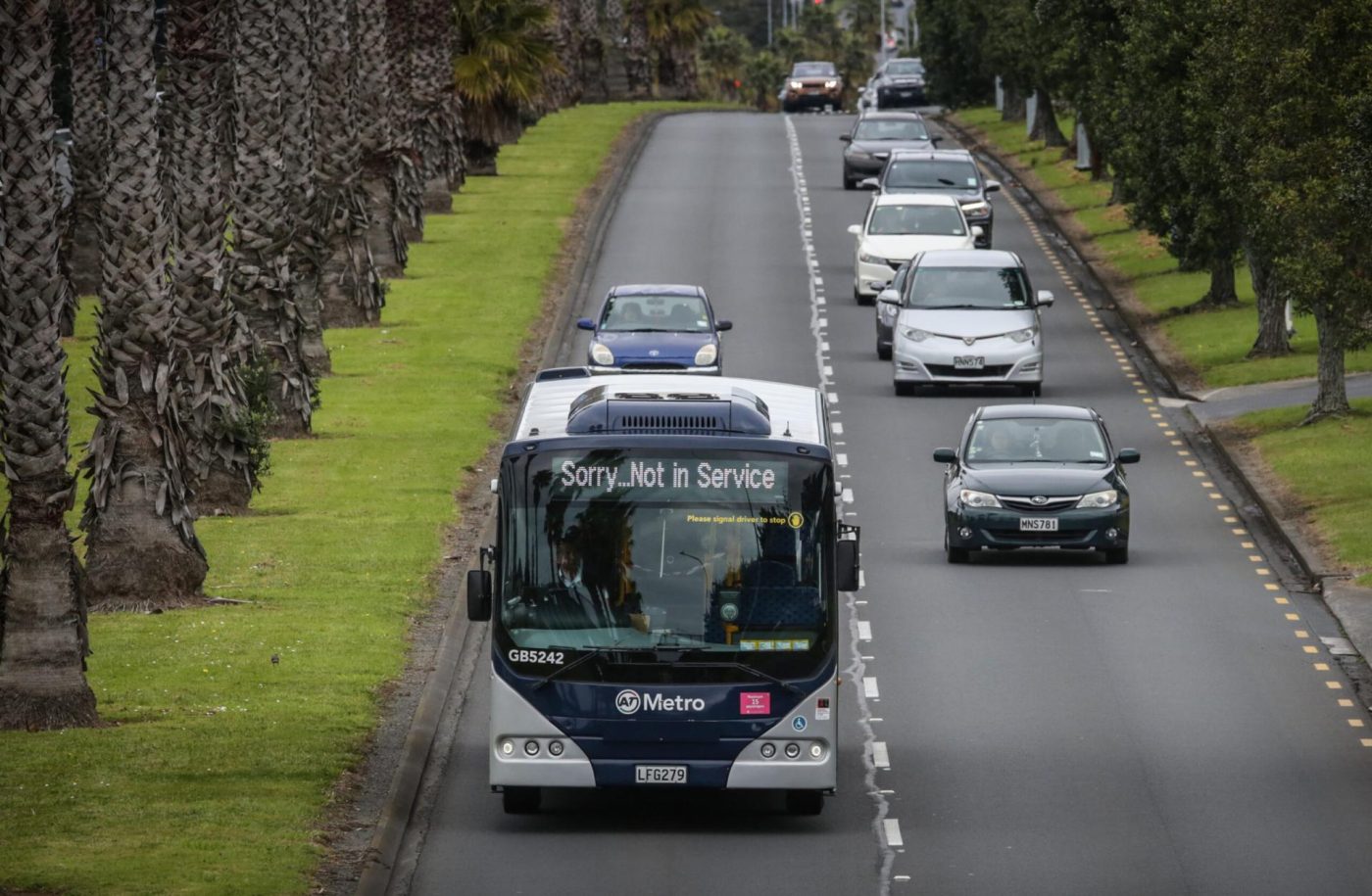
Eagle-eyed observers may have noticed part of a major infrastructure project missing from a map released by Auckland Transport (AT) earlier this week and which details its new Trains and Rapid Buses services and routes.
More direct access to Auckland’s city centre and a cross-city service are the key features of the new map, AT says.
It highlights the scale of public transport improvements which will come into effect when the City Rail Link (CRL) opens next year.
The CRL will allow for big changes in the way customers can travel across Auckland.
The network has been reshaped with AT adding new train lines and bus connections to provide more choice and faster journeys.
“It’s exciting to be able to give people a clearer idea of how their train journeys will change, as many people don’t realise that City Rail Link benefits all of Auckland and the whole public transport network,” AT chief executive Dean Kimpton says.
“This is more than a map, it shows how people can more easily connect with friends and loved ones, attend events, shorten their commute, or just explore a new part of the city by rail.”
However, east Auckland locals who have seen the map since it was released on Monday may have noticed a gap between the Botany Town Centre and Manukau, which are two areas to be connected by the future Botany to Auckland Airport rapid transit service.
The Botany to airport connection will involve the construction of 15km of rapid transit busway, including walking and cycling facilities.
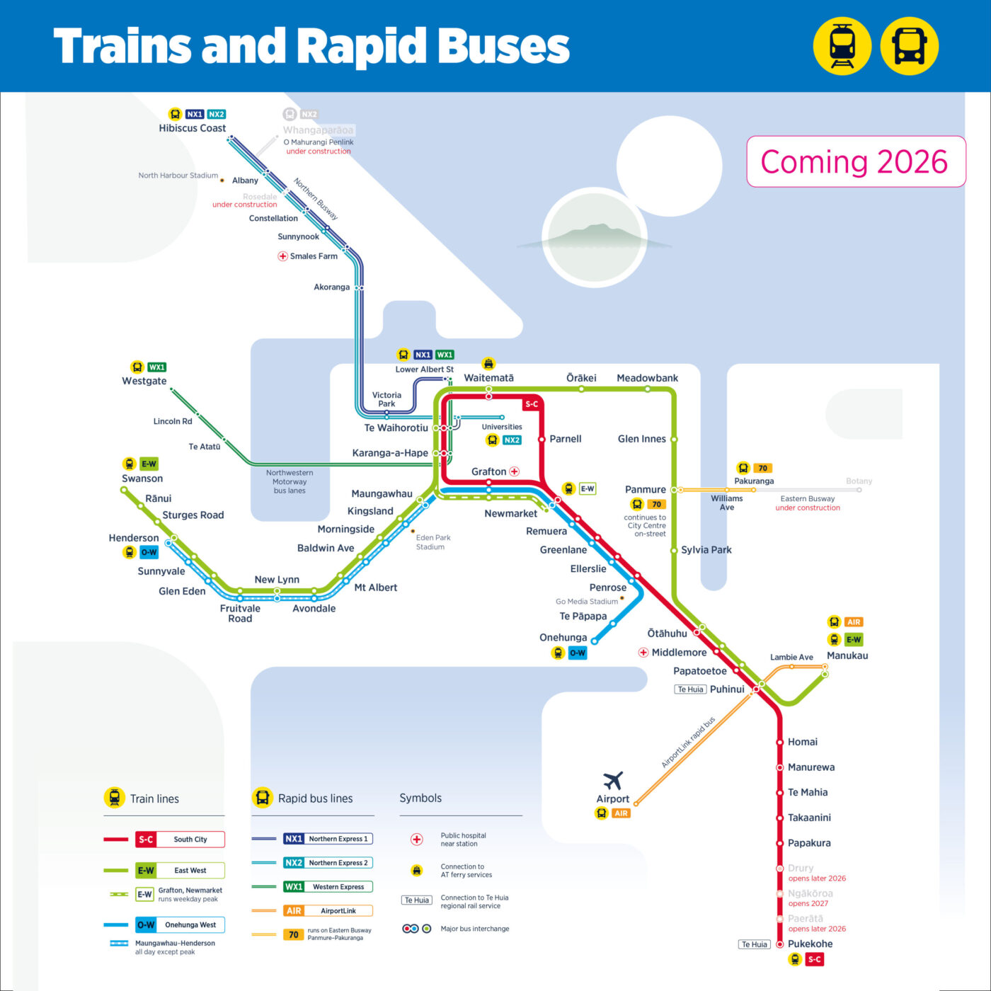
The Times asked AT about the empty space on its new map in the section between Botany and Manukau.
The agency says: “Auckland Transport is still working together with our partners to deliver the Airport to Botany bus rapid transit project, which is currently at Notice of Requirement (NoR) and designation stage.
“Notices of Requirement were submitted to Auckland Council in 2023 to protect the land needed by Auckland Transport and Waka Kotahi for the project.
“The rapid bus routes we have highlighted on the new trains and rapid buses map are either under construction or already exist as part of our public transport network.
“There’s lots of information to digest on the map already, so we haven’t put designations on it.”
The map shows the three new central Auckland stations, Maungawhau, Karanga-a-Hape, and Te Waihorotiu, alongside a better-connected Waitematā Station (Britomart), are the cornerstone of the route improvements.
The new underground twin tunnels from Waitematā Station mean trains can travel straight through the middle of the city, unlocking capacity for more frequent trains and reducing travel times.
Some 90 per cent of all train services will pass through the underground tunnels and city centre stations on new routes replacing the Southern, Eastern, Western and Onehunga Lines.
The East-West Line – a merge of the former Eastern and Western Lines – will now connect via the CRL for a new cross-city service taking people direct from Swanson all the way to Manukau on a single journey.


